


Product code: Maps - Noort Zee - German sea outlet - England - - Hand colored
outlet Maps -German sea - England - - Hand colored - Amsterdam 1700
Large format Cm 70 x 50, inches 27,5 x 19,6
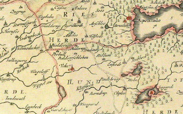
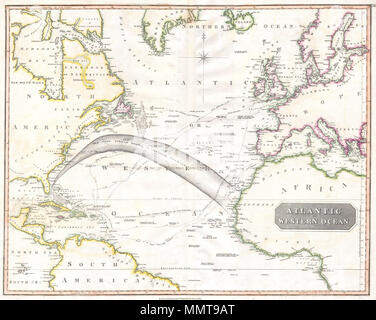
Louis Renard's - The chart extends from Norway, Denmark and the German and Dutch Coastlines in the east to Ireland, Scotland and the Faroe Islands. Cherubs hold aloft the coats of arms of Norway, England, Scotland and Ireland
Printed on high quality paper and water-coloured by hand.
Each piece is unique being hand painted. Beautiful as a picture.
This is not a digital reproduction.